| Home | Newsletter | Locations | Diary |
| Indexes |
|
| Travellers Resource |
|
|
|
|
Enjoy a close-up view onto a cliff-side nesting colony, with binoculars and telescopes provided. You'll
be able to watch guillemots, razorbills and
puffins
The RSPB reserve is open year round. Ellins Tower, the RSPB visitor centre, is open from Easter to September. Access to Ellins Tower is via a steep flight of stairs.
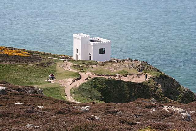
Ellins Tower originally a
folly/summer house built for the Wife of W.O Stanley of Penrhos,
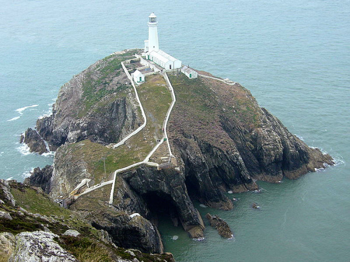
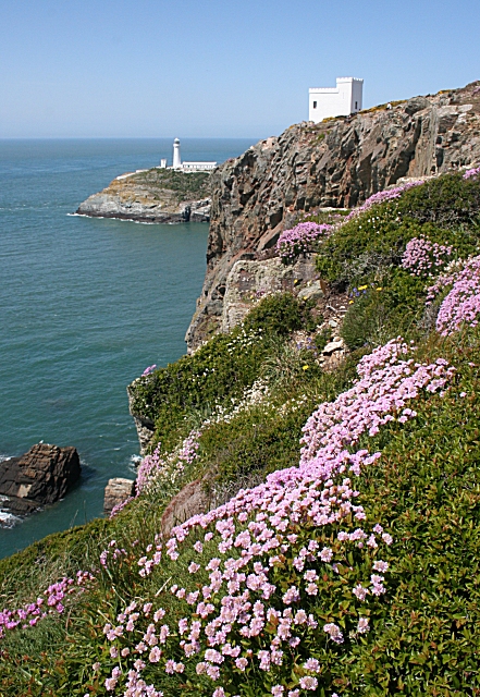
South Stack Lighthouse
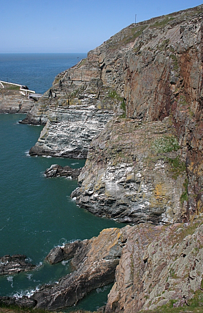
Access to the Isle of Anglesey Council's South
Stack Island and the
South Stack
Lighthouse
View of Ellins Tower, South
Stack Lighthouse
This page is a Quick Guide, the idea of Quick Guides is to allow very basic information and linking forward information to be added to the system rather than having to wait until a full location guide has been developed. It should therefore be considered a development stage rather than a finished objective. Once more information is known the objective is to create either a Location or Featured Location page which has two grids and far more information. Please let us know any other information that we can add to the Grid(s) or page and any errors that you discover. Before making a long trip to any location it is always wise to double check the current information, websites like magazines may be correct at the time the information is written, but things change and it is of course impossible to double check all entries on a regular basis. If you have any good photographs that you feel would improve the illustration of this page then please let us have copies. In referring to this page it is helpful if you quote both the Page Ref and Topic or Section references from the Grid below. To print the planning grid select it then right click and print the selected area. Please submit information on locations you discover so that this system continues to grow.
|
||||||||||||||||||||||||||||||||||||
|
||||||||||||||||||||||||||||||||||||
.
|
||||||||||||||||||||||||||||||||||||
|
|
||||||||||||||||||||||||||||||||||||